
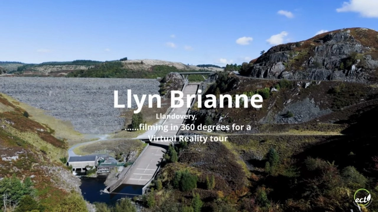
Ecological Continuity Trust's Virtual Reality Tour BTS/Documentary
The Brief
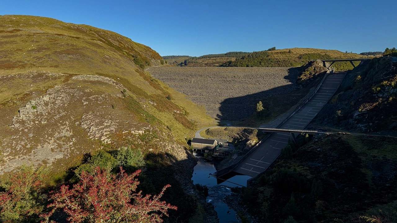
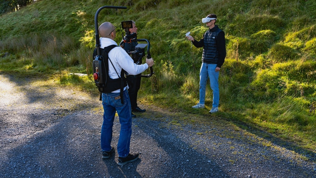
We were commissioned by the Ecological Continuity Trust, who tasked us with the capture of high-resolution 360-degree footage for their upcoming virtual reality tour. This project is centred on the Llyn Brianne long-term catchment-scale experiment, a significant ecological site located in mid-Wales. Our role was to provide the core visual assets required to build an immersive and accessible digital experience of the research facility and its surrounding environment.
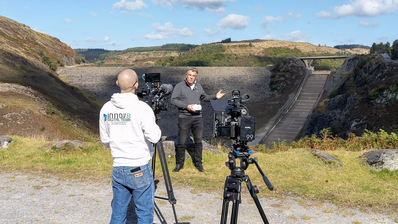
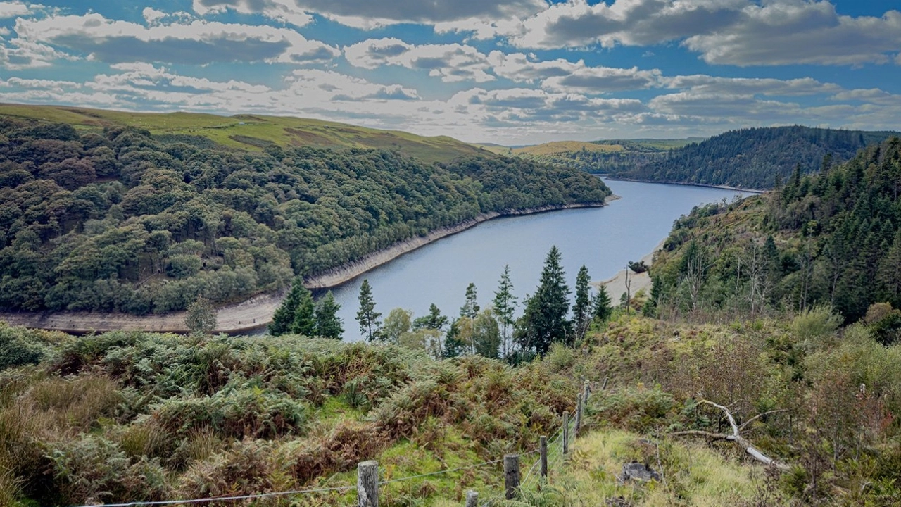
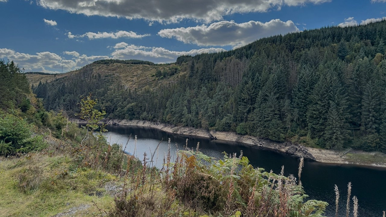
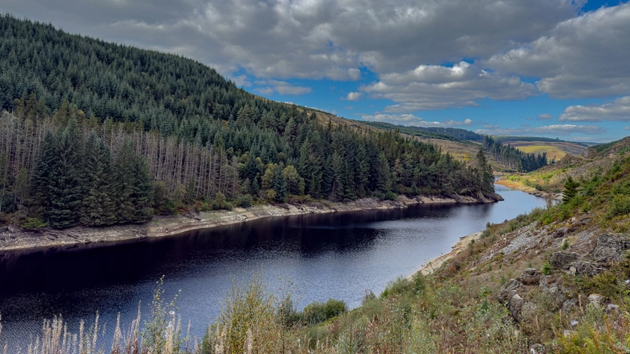
The work was situated at the renowned Llyn Brianne experiment, which encompasses a variety of landscapes and long-running scientific studies. Our objective was to produce a comprehensive visual record of the key experimental plots, diverse forest habitats, and aquatic ecosystems within the catchment area. This 360-degree footage will enable the Ecological Continuity Trust to facilitate virtual access for global research, education, and outreach, thereby communicating the scale and importance of this long-term study to a wider audience.
About
The Ecological Continuity Trust (ECT) is a unique UK-based charity dedicated to the preservation and support of long-term ecological field experiments (LTEs). Established in 2008, its inception was a direct response to a growing and critical concern within the scientific community: the progressive loss of these invaluable, long-running studies across the United Kingdom. Many LTEs, some spanning several decades, were facing termination due to short-term funding cycles, shifts in institutional priorities, or the retirement of key researchers, risking the permanent loss of irreplaceable data sets.
To counter this threat, the ECT operates through a strategic model of direct intervention and support. The charity actively secures long-term experimental sites, either through direct ownership or by forging legal agreements with landowners, thereby guaranteeing the physical continuity of the experiments beyond the lifespan of individual research grants. Furthermore, it provides a crucial framework for financial stability and succession planning, ensuring that a robust management structure is in place to maintain the integrity of the research. This includes the vital archival of legacy data and the facilitation of knowledge transfer between generations of ecologists, safeguarding the intellectual as well as the physical legacy of the sites.
The charity's core mission is to ensure that the unparalleled insights generated by long-term experimental ecology remain central to evidence-based policymaking, sustainable land management, and efforts to improve biodiversity in the face of environmental change. By protecting these 'living laboratories,' the Trust provides an essential resource for understanding slow-acting environmental processes, such as the effects of climate change, pollution, and evolving land-use practices. The unbroken, multi-decadal data streams from ECT-supported sites are fundamental for informing national environmental strategies and advancing the scientific community's capacity to address complex ecological challenges.
Project Details
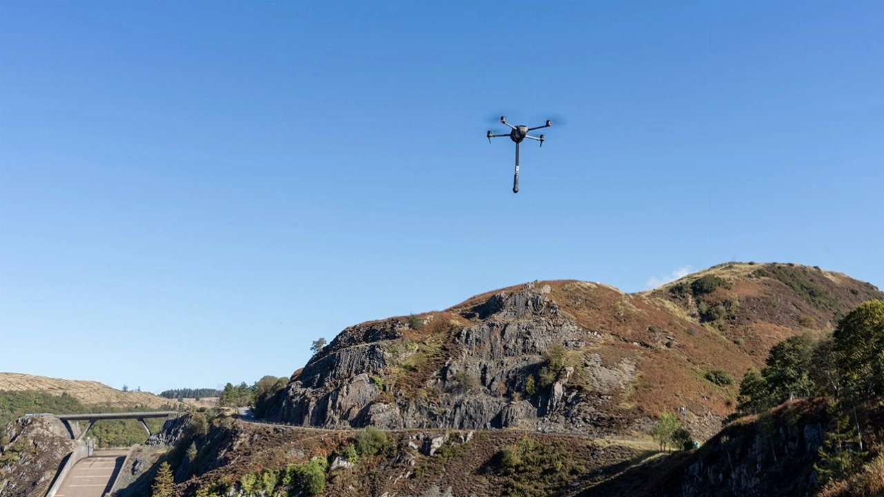
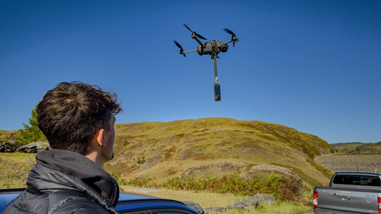
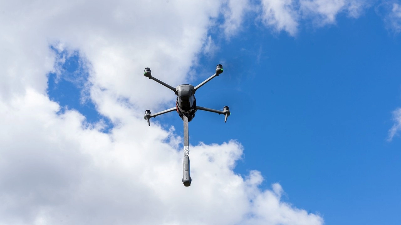
Our team executed the aerial capture phase of the project, securing dynamic 360-degree drone footage for the upcoming Llyn Brianne Virtual Reality Tour. This aspect of the commission was crucial for providing users with a unique, elevated perspective of the catchment's scale and the interrelation of its various experimental sites. The flights provided an encompassing view that is impossible to achieve from ground level, adding a significant layer of context and immersion to the final VR application.
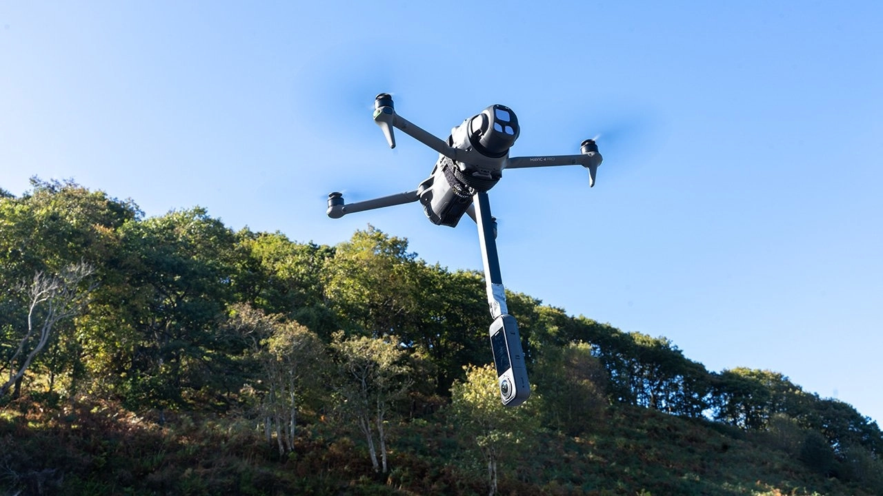
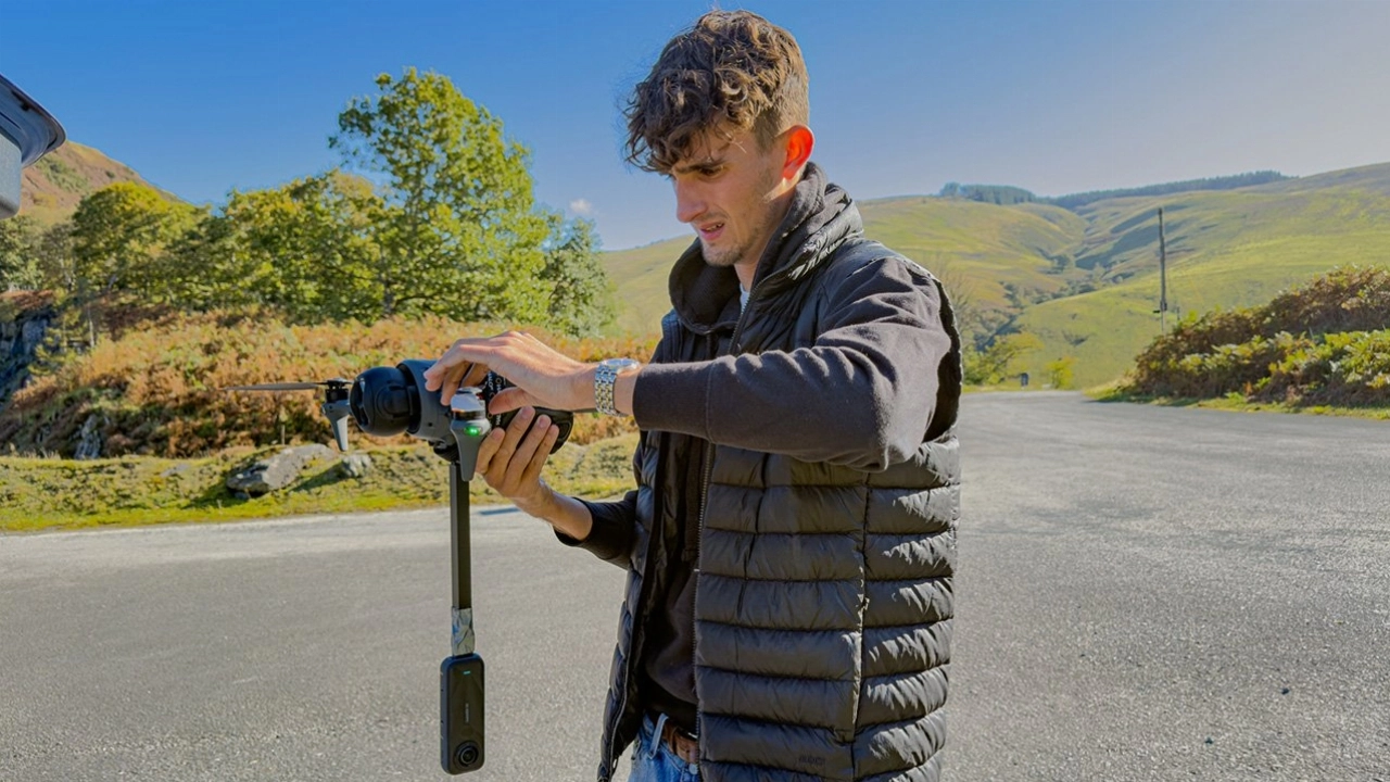
For this primary task, our equipment consisted of the DJI Mavic 4 Pro drone, to which we mounted an Insta 360 camera on its underside. This specific configuration was chosen to ensure a completely unobstructed panoramic view, including the critical nadir perspective. To guarantee precision and smooth, repeatable flight paths over the sensitive ecological areas, we utilised a waypoint-based navigation system. This automated flight plotting allowed us to capture steady, cinematic 360-degree footage perfectly suited for integration into the VR environment.
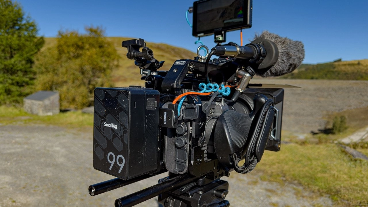
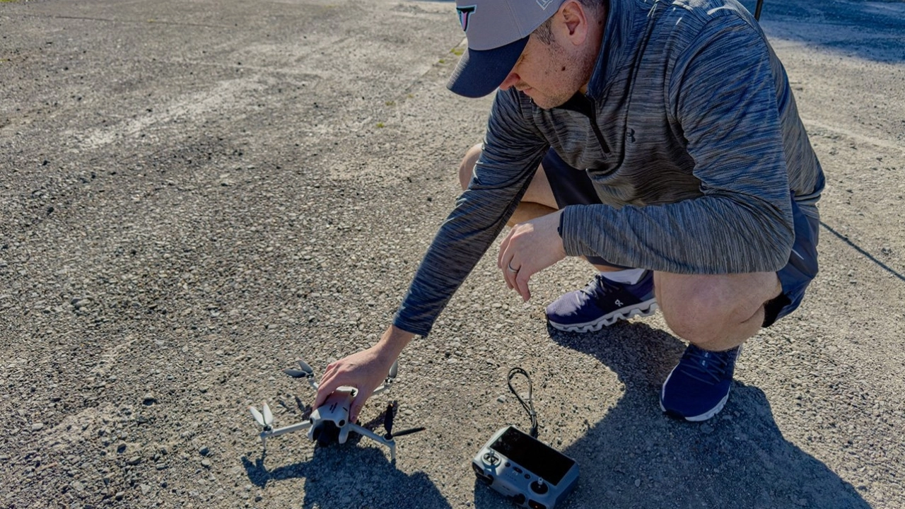
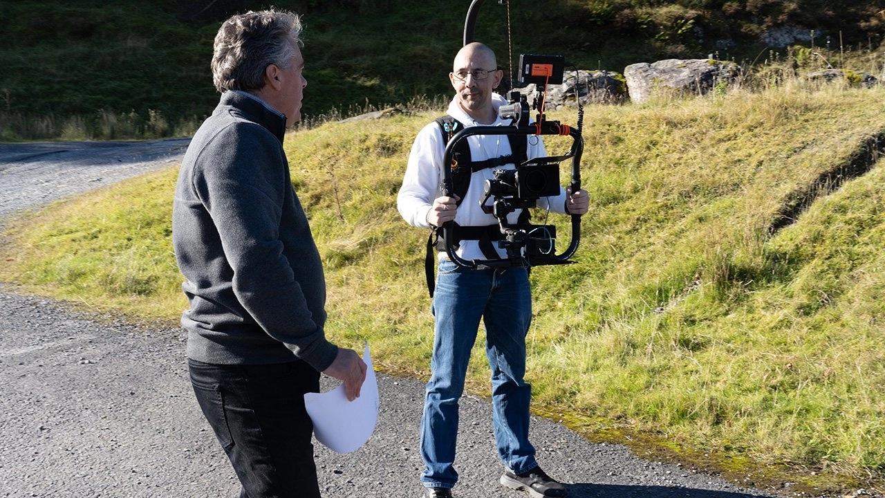
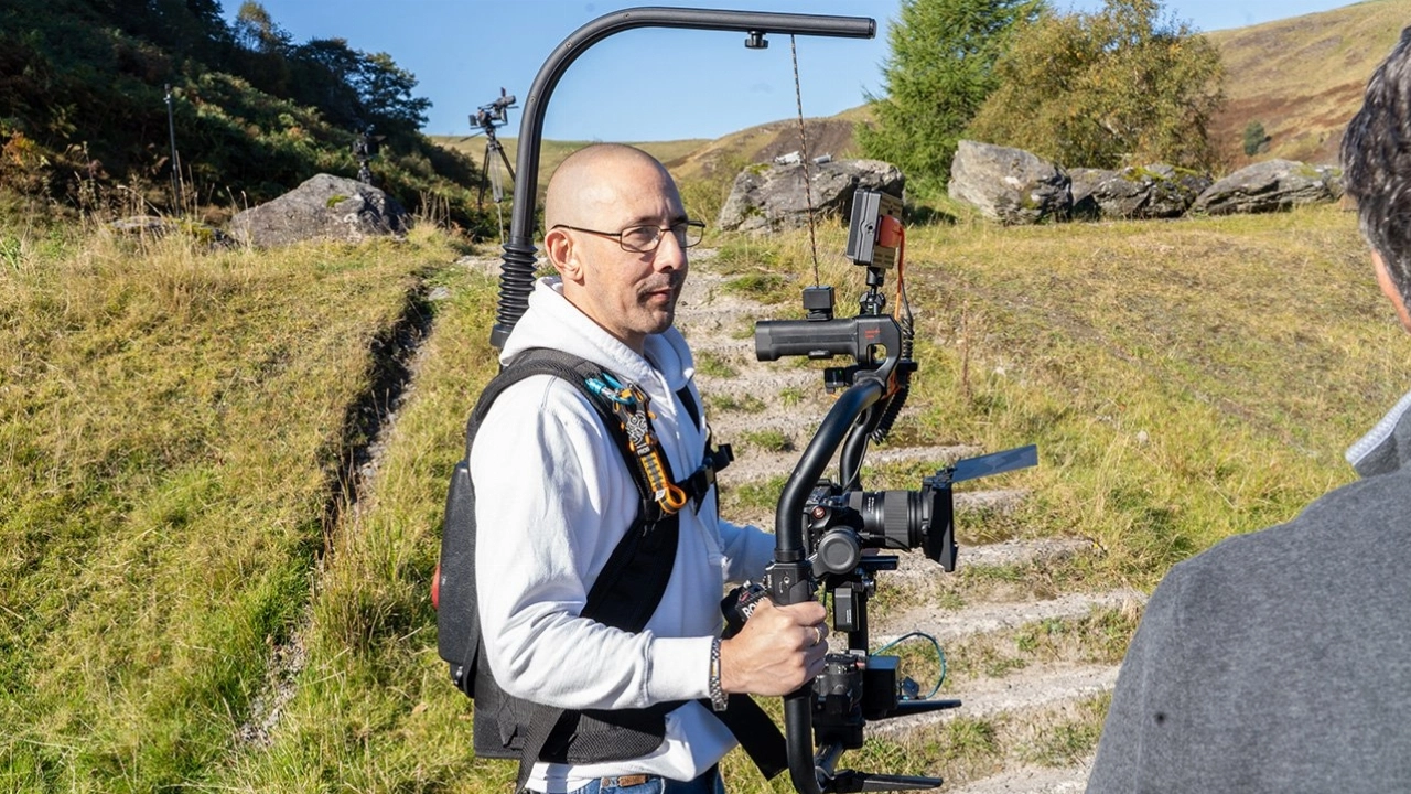
In addition to the primary VR deliverables, the behind-the-scenes documentary was filmed using a versatile camera package. Our core system comprised the Sony FX6, FX3, and FX30, allowing for multi-angle coverage of the on-site operations. To maintain stability while traversing the uneven ground, the main camera was operated on a DJI Ronin S2 Pro gimbal, supported by a DFCINE vest and configured with a Tilta ring grip for enhanced control. Lensing was handled by a range of Tamron zooms for flexibility, while supplementary aerials were captured with the DJI Mini 4 Pro. All dialogue was recorded using the DJI Mic 2 wireless system to ensure the narrative of the Trust's work was captured with clarity.
Innov8 Team


Equipment Used
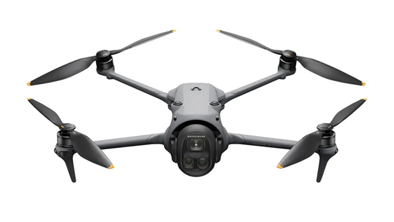 DJI Mavic 4 Pro
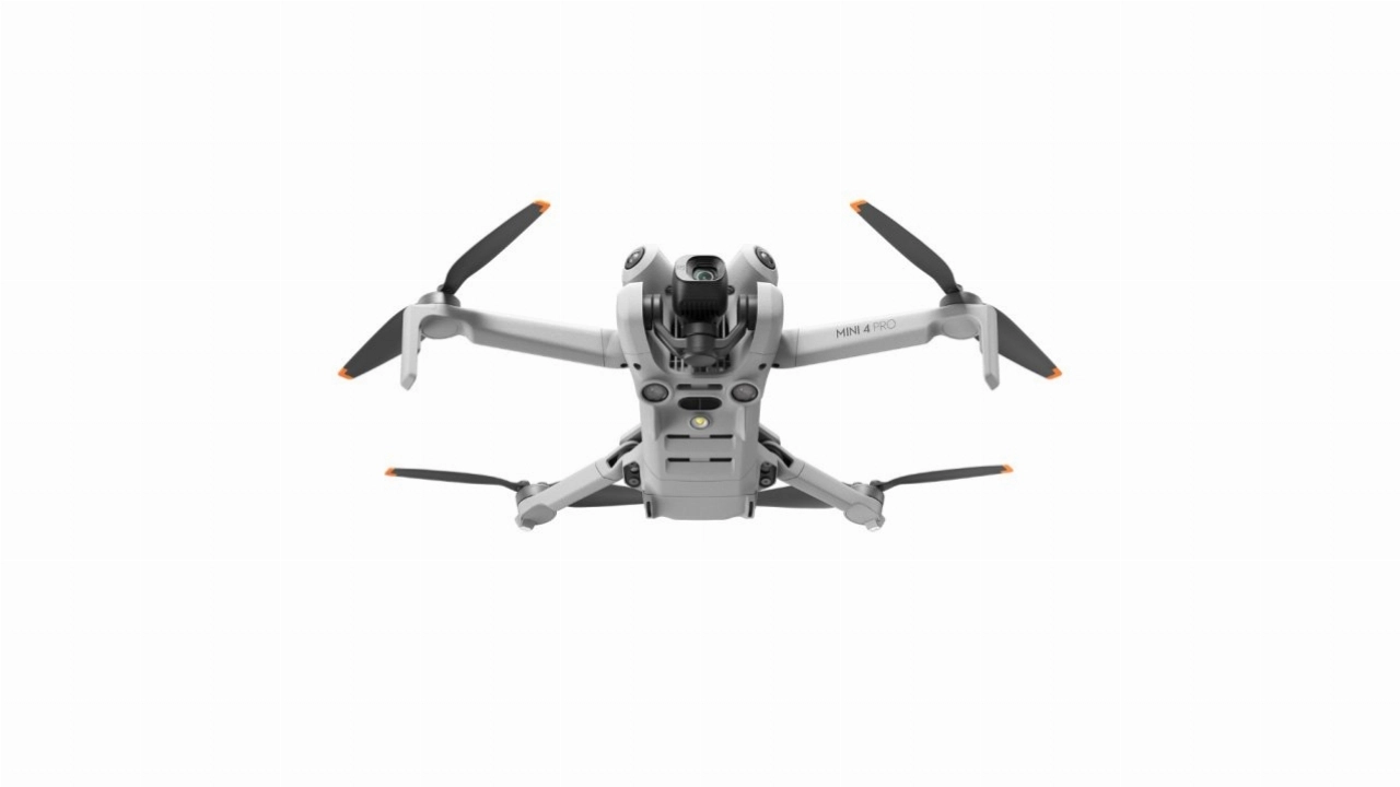 DJI Mini 4 Pro
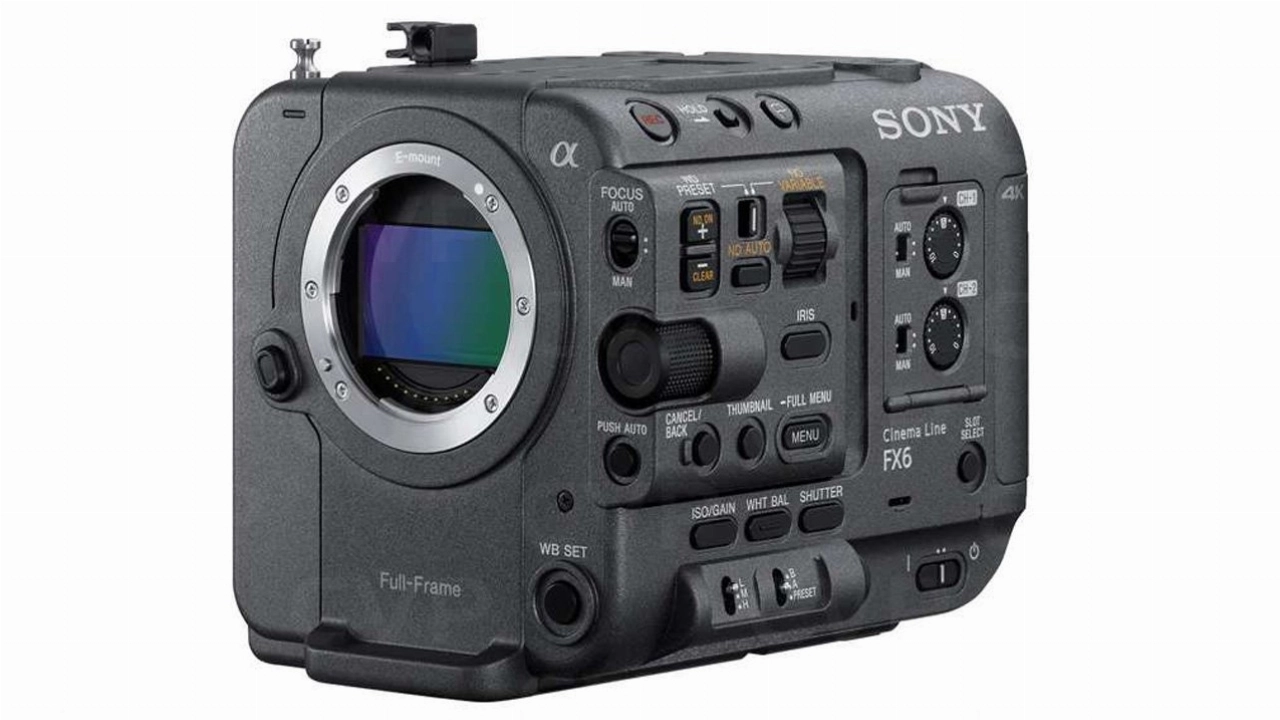 Sony FX6 Full-Frame Cinema Camera
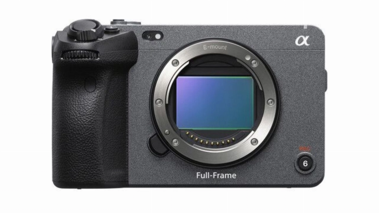 Sony FX3 Full-Frame Cinema Camera
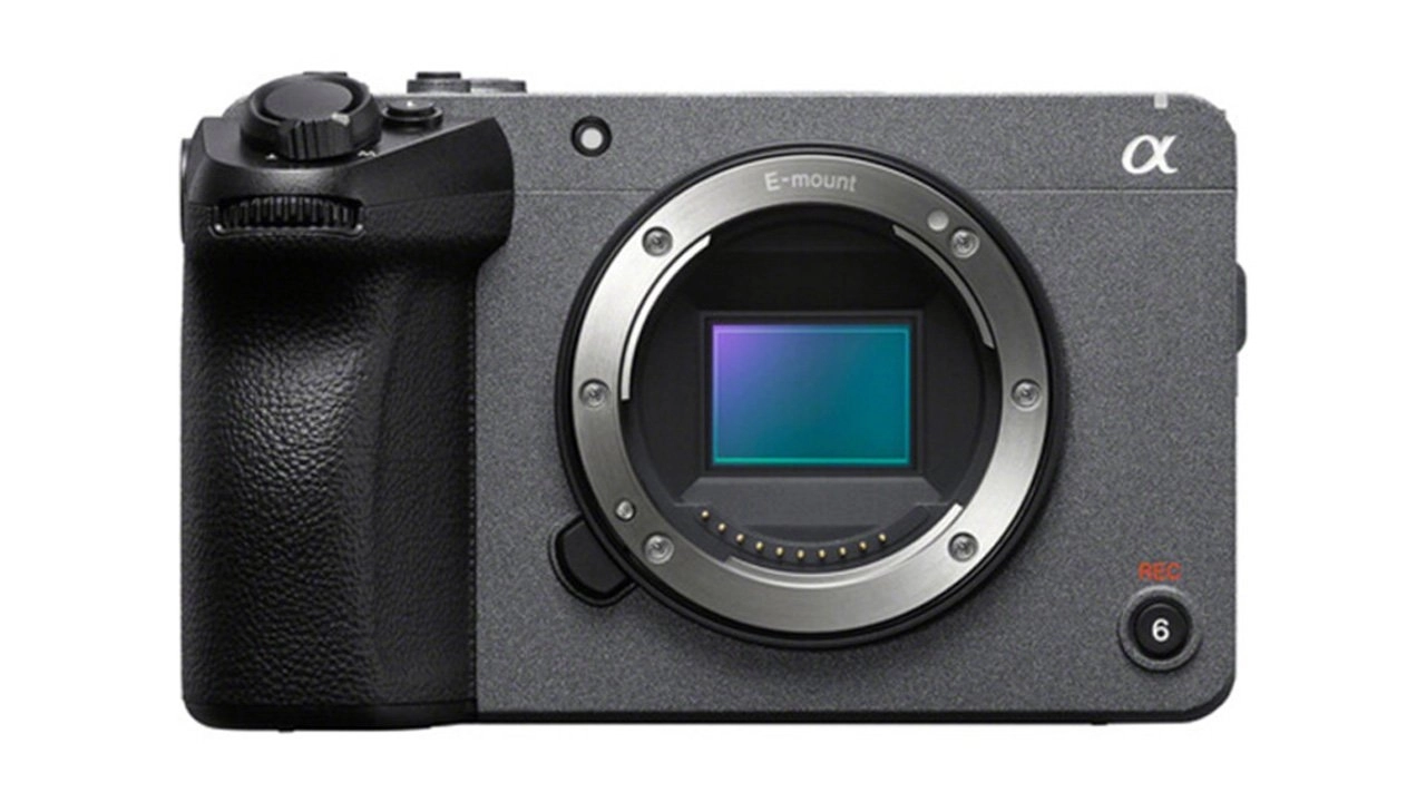 Sony FX30 Cinema Camera
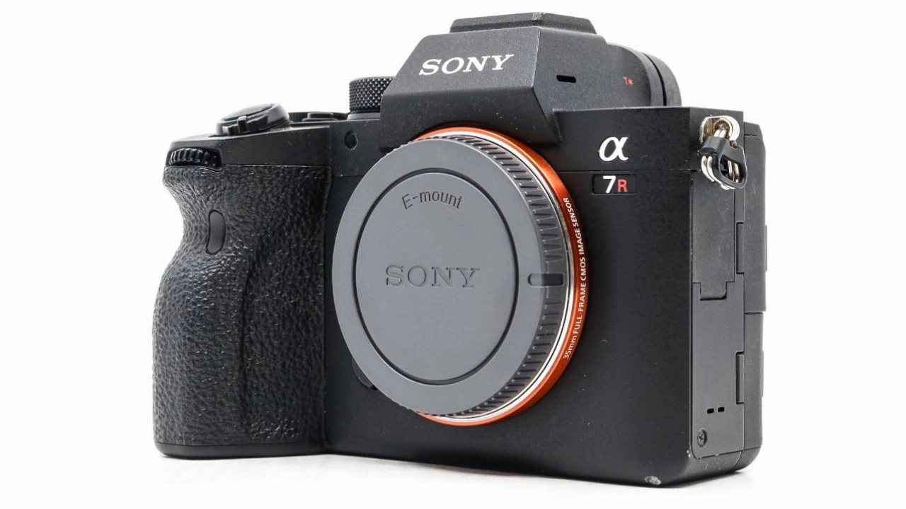 Sony Alpha A7RIV Camera
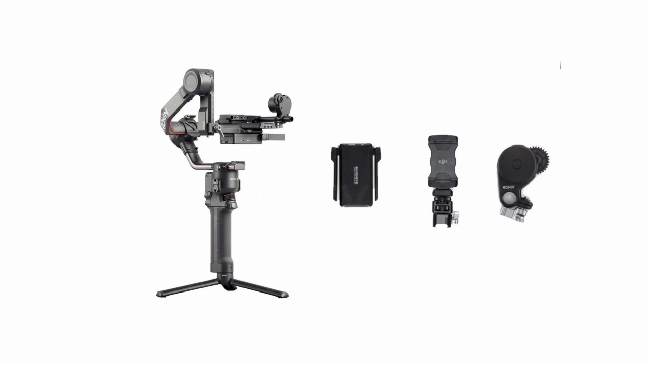 DJI Ronin S2 Pro Combo
 TAMRON 28-200mm F/2.8-5.6 Di III RXD
 Tamron 17-28mm F/2.8 Di III RXD
 TAMRON 28-75mm f/2.8 Di III RXD G2 Lens
 TAMRON 28-75mm f/2.8 Di III RXD Lens
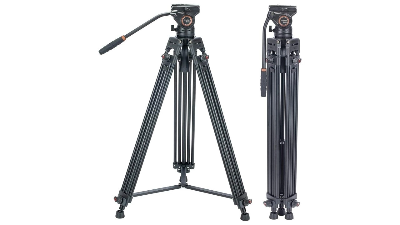 Cayer BV30L Professional Twin Tube Tripod & K3 Fluid Head
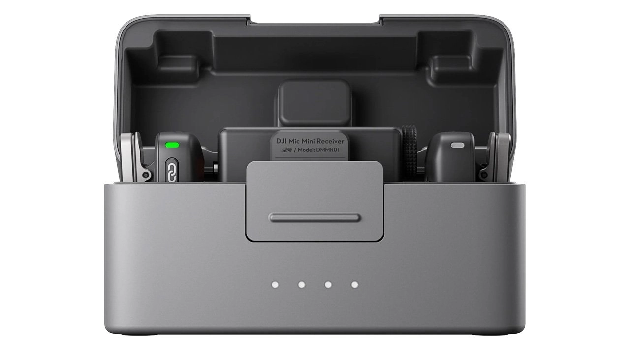 DJI Mic 2
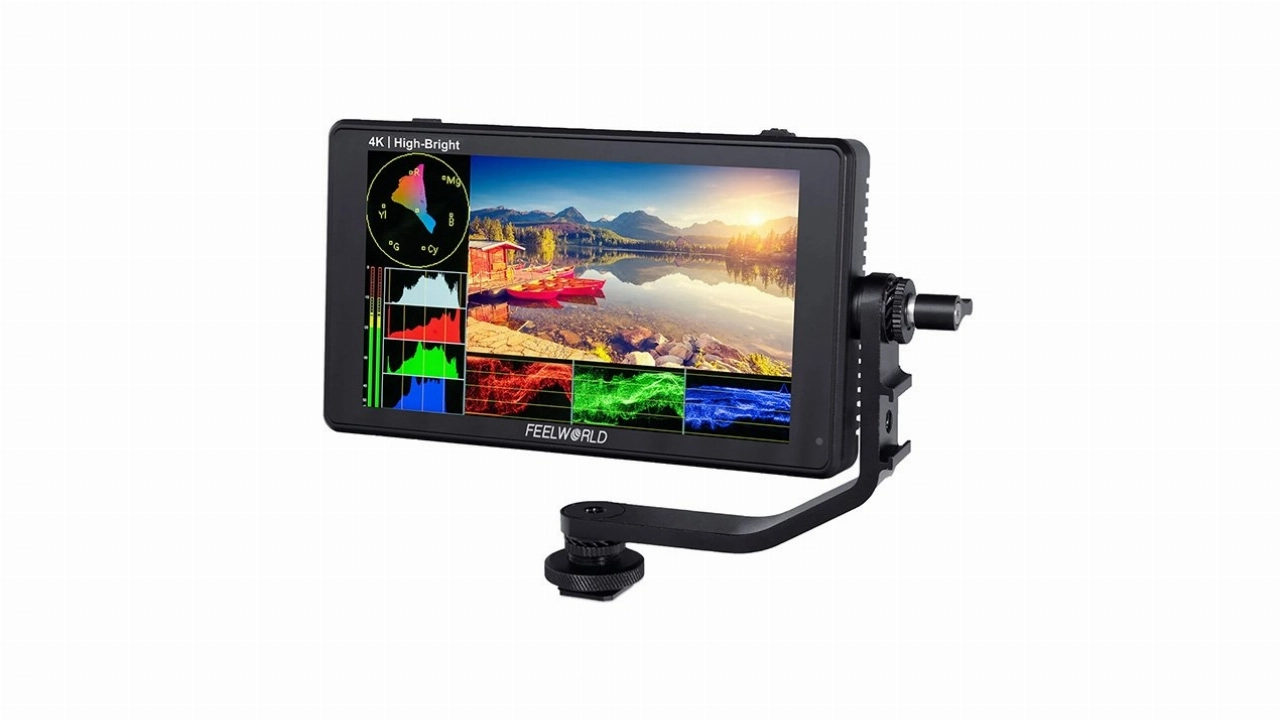 FEELWORLD LUT6E 6" 1600NIT CAMERA FIELD MONITOR
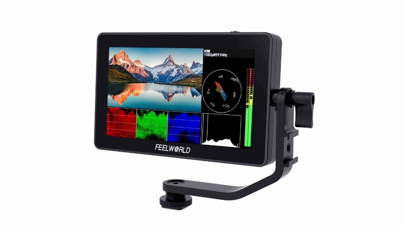 Feelworld F6 PLUS 5.5 Inch Touch Screen 3D Lut Field Monitor
More Documentary Video Production Projects
Flexible Licensing
We pride ourselves on being transparent and flexible with our licensing. Find out more about our how we license our products and services...
Talk to us about your project
Get in touch for a quote or call our team to talk through your requirements.
Start Your Project
Tell us a little about you and what you need, and our team will be in touch as soon as possible.